| dbo:PopulatedPlace/areaTotal
| |
| dbo:abstract
|
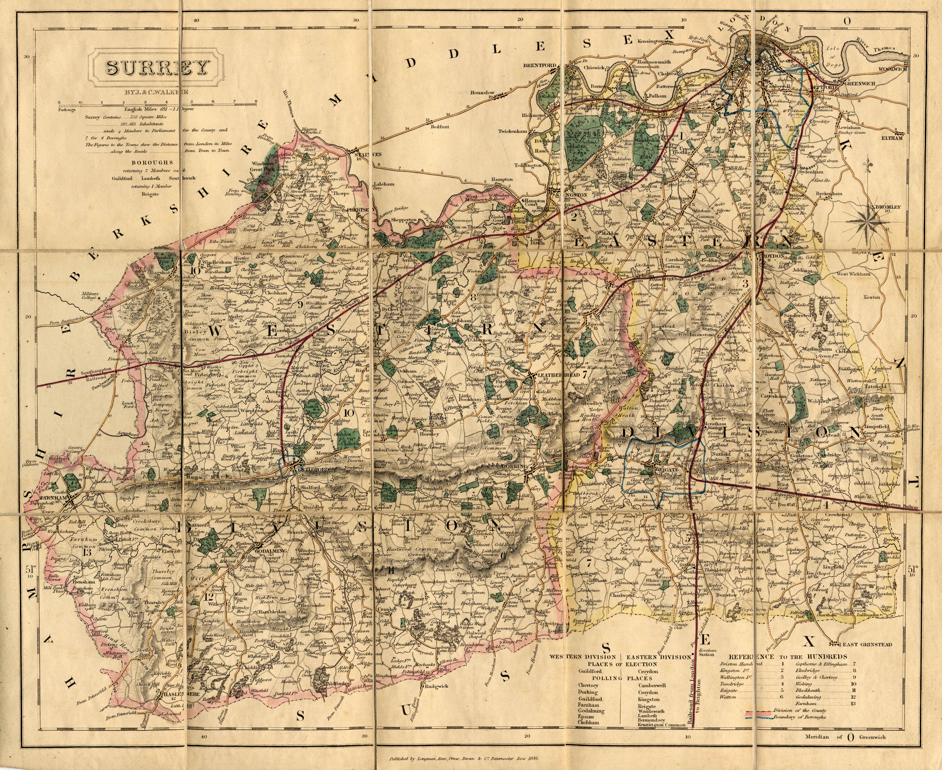
- West End is a village and civil parish in Surrey Heath, Surrey, England, approximately 25 miles (40 km) southwest of central London. It is midway between the towns of Camberley and Woking, 4 mi (6.4 km) to the west and east respectively. The River Bourne rises from its sources to the immediate west to run through the village. Until the mid 20th century, the West End consisted of a collection of smallholdings surrounded by a substantial area of common land West End Common is comparable in size to Chobham Common to the north and includes training ranges of the British Army. Brentmoor Heath is to the north west of the village. West End is equidistant between Bagshot and Brookwood railway stations, both 3 miles (4.8 km) away. The village is close to junction 3 of the M3 motorway. (en)
- West End is een civil parish in het bestuurlijke gebied Surrey Heath, in het Engelse graafschap Surrey met 4693 inwoners. (nl)
- West End – wieś w Anglii, w hrabstwie Surrey, w dystrykcie Surrey Heath. Leży 42 km na południowy zachód od centrum Londynu. Miejscowość liczy 4272 mieszkańców. (pl)
- West End är en ort och civil parish i Storbritannien. Den ligger i grevskapet Surrey och riksdelen England, i den södra delen av landet, 40 km sydväst om huvudstaden London. West End gränsar till Lightwater. Kustklimat råder i trakten. Årsmedeltemperaturen i trakten är 9 °C. Den varmaste månaden är juli, då medeltemperaturen är 18 °C, och den kallaste är december, med 0 °C. (sv)
|
| dbo:areaCode
| |
| dbo:areaTotal
|
- 14520000.000000 (xsd:double)
|
| dbo:country
| |
| dbo:gridReference
| |
| dbo:populationTotal
|
- 4693 (xsd:nonNegativeInteger)
|
| dbo:postalCode
| |
| dbo:thumbnail
| |
| dbo:wikiPageExternalLink
| |
| dbo:wikiPageID
| |
| dbo:wikiPageLength
|
- 11874 (xsd:nonNegativeInteger)
|
| dbo:wikiPageRevisionID
| |
| dbo:wikiPageWikiLink
| |
| dbp:areaTotalKm
| |
| dbp:centre
| |
| dbp:civilParish
| |
| dbp:constituencyWestminster
| |
| dbp:country
| |
| dbp:dialCode
| |
| dbp:east
| |
| dbp:mapType
| |
| dbp:north
| |
| dbp:northeast
| |
| dbp:northwest
| |
| dbp:officialName
| |
| dbp:osGridReference
| |
| dbp:population
| |
| dbp:populationRef
| |
| dbp:postTown
| |
| dbp:postcodeArea
| |
| dbp:postcodeDistrict
| |
| dbp:region
| |
| dbp:shireCounty
| |
| dbp:south
| |
| dbp:southeast
| |
| dbp:southwest
| |
| dbp:staticImage2Caption
| |
| dbp:staticImage2Name
|
- West End village hall - geograph.org.uk - 73476.jpg (en)
|
| dbp:staticImageCaption
|
- A sandy part of West End Common (en)
- notable for endemic heather (Ericaceae) (en)
|
| dbp:staticImageName
|
- west end common1.jpg (en)
|
| dbp:title
| |
| dbp:west
| |
| dbp:wikiPageUsesTemplate
| |
| dbp:wordnet_type
| |
| dcterms:subject
| |
| gold:hypernym
| |
| georss:point
| |
| rdf:type
| |
| rdfs:comment
|
- West End is een civil parish in het bestuurlijke gebied Surrey Heath, in het Engelse graafschap Surrey met 4693 inwoners. (nl)
- West End – wieś w Anglii, w hrabstwie Surrey, w dystrykcie Surrey Heath. Leży 42 km na południowy zachód od centrum Londynu. Miejscowość liczy 4272 mieszkańców. (pl)
- West End är en ort och civil parish i Storbritannien. Den ligger i grevskapet Surrey och riksdelen England, i den södra delen av landet, 40 km sydväst om huvudstaden London. West End gränsar till Lightwater. Kustklimat råder i trakten. Årsmedeltemperaturen i trakten är 9 °C. Den varmaste månaden är juli, då medeltemperaturen är 18 °C, och den kallaste är december, med 0 °C. (sv)
- West End is a village and civil parish in Surrey Heath, Surrey, England, approximately 25 miles (40 km) southwest of central London. It is midway between the towns of Camberley and Woking, 4 mi (6.4 km) to the west and east respectively. The River Bourne rises from its sources to the immediate west to run through the village. Until the mid 20th century, the West End consisted of a collection of smallholdings surrounded by a substantial area of common land (en)
|
| rdfs:label
|
- West End (Surrey) (pl)
- West End (Surrey) (nl)
- West End, Surrey (en)
- West End, Surrey (sv)
|
| owl:sameAs
|
- freebase:West End, Surrey
- yago-res:West End, Surrey
- wikidata:West End, Surrey
- geodata:West End, Surrey
- geodata:West End, Surrey
- http://ceb.dbpedia.org/resource/West_End_(parokya_sa_Hiniusang_Gingharian,_Inglatera,_Surrey)
- dbpedia-cy:West End, Surrey
- dbpedia-nl:West End, Surrey
- dbpedia-pl:West End, Surrey
- dbpedia-sv:West End, Surrey
- dbpedia-tr:West End, Surrey
- https://global.dbpedia.org/id/4PqfE
|
| geo:geometry
|
- POINT(-0.64300000667572 51.338001251221)
|
| geo:lat
| |
| geo:long
| |
| prov:wasDerivedFrom
| |
| foaf:depiction
| |
| foaf:isPrimaryTopicOf
| |
| foaf:name
| |
| is dbo:wikiPageDisambiguates
of | |
| is dbo:wikiPageRedirects
of | |
| is dbo:wikiPageWikiLink
of | |
| is dbp:location
of | |
| is foaf:primaryTopic
of | |


